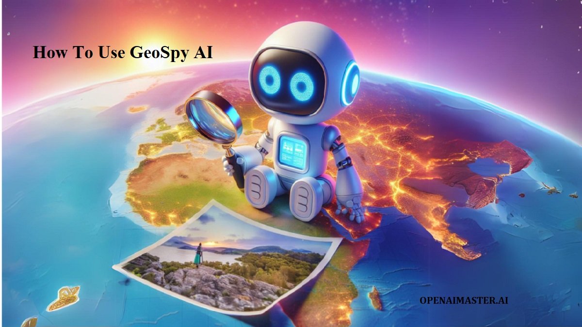
GeoSpy AI is a cutting-edge tool that harnesses the power of artificial intelligence to analyze photos and determine their geographical origins. This article will guide you through the ins and outs of GeoSpy AI, exploring its features, usage, and potential applications.
What is GeoSpy AI?
GeoSpy AI is an innovative web-based platform that utilizes advanced machine learning algorithms to analyze images and predict their geographic location. By examining visual cues, architectural styles, natural features, and other distinctive elements within a photograph, GeoSpy AI can often determine the country, city, and even approximate coordinates where the image was captured.
This technology represents a significant leap forward in the field of visual geolocation, offering users a powerful tool for various personal, professional, and research-related purposes. Whether you’re a curious traveler, a digital forensics expert, or simply someone intrigued by the capabilities of AI, GeoSpy AI opens up a world of possibilities.
How To Use GeoSpy AI
Using GeoSpy AI is a straightforward process designed for ease of use across various devices. Here’s a step-by-step guide to help you get started:
Access the platform
Open your preferred web browser and navigate to the GeoSpy AI website (https://geospy.ai). The service is accessible from desktop computers, laptops, tablets, and smartphones.
Upload an image
On the homepage, you’ll find a prominent button labeled “Press or drag here to upload / take a photo.” You have two options for providing an image:
- Select an existing photo from your device’s storage
- Use your device’s camera to capture a new image on the spot (if your device supports this feature)
Wait for analysis
Once you’ve uploaded or taken a photo, GeoSpy AI springs into action. The platform’s sophisticated AI algorithms begin processing the image, analyzing various elements to determine its likely location. This analysis typically takes just a few seconds, though processing time may vary depending on image complexity and server load.
Review the results
Scroll down the page to view GeoSpy AI’s analysis. The results usually include:
- Estimated country and city
- Approximate geographic coordinates
- A concise explanation of the visual cues and reasoning behind the location prediction
- An interactive map displaying the estimated location
Interpret the findings
While examining the results, it’s important to maintain a critical perspective. GeoSpy AI’s predictions can be remarkably accurate, but they’re not infallible. The tool’s accuracy depends on various factors, including image quality, the presence of distinctive features, and the breadth of its training data.
Explore additional features
GeoSpy AI often provides extra functionality to enhance your experience:
- A direct link to view the predicted location on Google Maps for further exploration
- Source images that influenced the AI’s decision-making process, offering insight into its analytical approach
Key Features of GeoSpy AI
GeoSpy AI boasts an array of impressive features that set it apart in the realm of AI-powered geolocation tools:
- Rapid analysis: Process images and receive location predictions within seconds
- Multi-platform accessibility: Use the tool seamlessly across various devices and operating systems
- User-friendly interface: Navigate the platform with ease, even without technical expertise
- Detailed predictions: Obtain country, city, and coordinate estimates for comprehensive geolocation
- Explanatory insights: Understand the AI’s reasoning through brief descriptions of key visual cues
- Interactive mapping: Visualize results on an integrated map for better geographical context
- Google Maps integration: Explore predicted locations further with direct links to Google Maps
- Source image display: Gain transparency into the AI’s decision-making process by viewing reference images
- Privacy-conscious: No account creation required, promoting user anonymity
- Continuous improvement: Regular updates and refinements to the AI model for increased accuracy
- Beta status: Ongoing development with the potential for new features and capabilities
Tips for Optimal Results with GeoSpy AI
To maximize the accuracy and effectiveness of your GeoSpy AI experience, consider the following tips:
- Prioritize image quality: Use clear, high-resolution photos whenever possible to provide the AI with the best data for analysis.
- Focus on distinctive features: Images containing unique landmarks, architectural styles, or natural features tend to yield more accurate results.
- Opt for outdoor scenes: Exterior shots generally provide more geographic context than indoor images.
- Include a variety of elements: Photos that capture multiple aspects of a location (e.g., buildings, vegetation, signage) often lead to more precise predictions.
- Be mindful of common landscapes: Generic scenes like beaches or forests may pose challenges for the AI, as they lack location-specific identifiers.
- Consider seasonal variations: Keep in mind that the appearance of a location can change dramatically across seasons, potentially affecting accuracy.
- Experiment with different angles: If your initial result seems incorrect, try uploading alternative views of the same location for comparison.
- Cross-reference results: Use GeoSpy AI in conjunction with other sources to verify and refine location predictions.
- Respect privacy: Always ensure you have the right to upload and analyze images, especially those containing identifiable individuals or private property.
- Provide feedback: As GeoSpy AI is in beta, your input can be valuable for improving the service. Look for opportunities to share your experience with the developers.
Conclusion
GeoSpy AI represents a fascinating intersection of artificial intelligence and geographic analysis, offering users a powerful tool for image-based location prediction. By following the steps outlined in this guide and leveraging the platform’s features, you can unlock new possibilities in fields ranging from travel and photography to digital forensics and historical research.
As with any AI-driven technology, it’s crucial to approach GeoSpy AI’s results with a blend of curiosity and critical thinking. While the tool’s capabilities are impressive, understanding its limitations and using it responsibly will ensure the best possible outcomes.
As GeoSpy AI continues to evolve, we can anticipate even greater accuracy and expanded features in the future. Whether you’re a technology enthusiast, a professional in need of geolocation services, or simply someone with a keen interest in the world around us, GeoSpy AI offers an exciting glimpse into the potential of AI to transform our understanding of images and their geographic origins.
Embrace the power of GeoSpy AI, and embark on a journey of discovery that bridges the gap between visual data and global geography. The world is vast and varied, but with tools like GeoSpy AI at our fingertips, it becomes a little bit smaller and a whole lot more accessible.